
Share
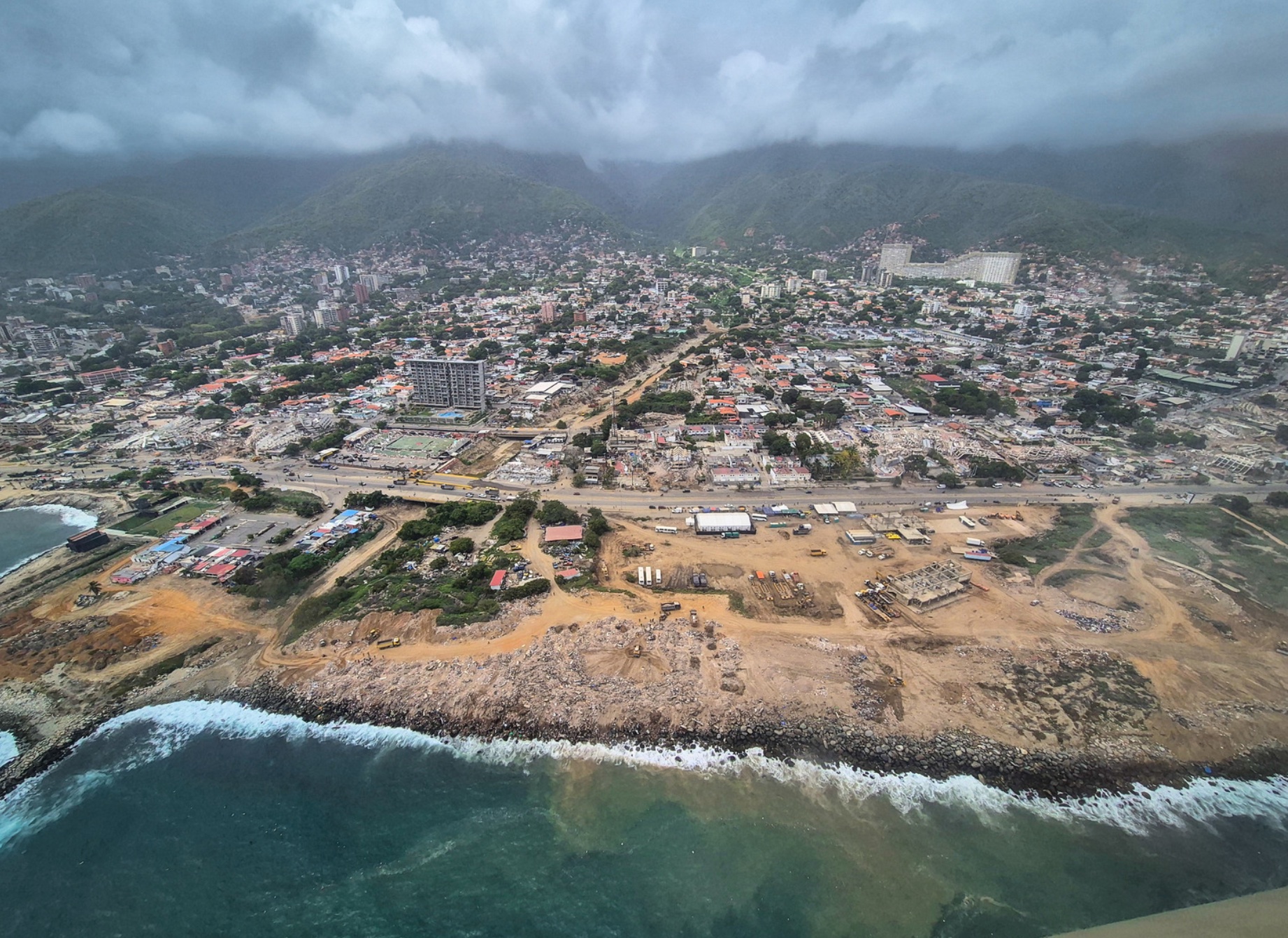
On the night of 24 June 2026, two earthquakes struck the coast of Venezuela, forty seconds apart. Within days, at least eight organisations had turned satellite imagery into assessments of building damage.
Advances in AI and satellite imaging have made satellite-derived damage assessments far faster and cheaper to produce. As a result, more organisations than ever are producing them. After the earthquake, responders received multiple assessments, each with diverging estimates of damaged buildings. There was no clear sense of which assessment to act on.
The humanitarian system is still navigating how best to make use of these assessments. To support these efforts, the data science team at the OCHA Centre for Humanitarian Data tracked the Venezuela assessments, in partnership with the UN Assessment and Analysis Cell. We set out to answer three questions, relevant to any coordinator trying to build a clear picture of damage: how good are the assessments at flagging damaged buildings, do they rank neighbourhoods well enough to guide triage, and how should they be used together?
Our analysis found that acting on a single flagged building from any one product could be inaccurate. However, by using the products together, it is possible to narrow down the worst-hit areas. Using multiple assessments together works better than choosing one.
Read the full story here: https://ocha-dap.github.io/ds-geospatial-impact-estimates/venezuela-earthquake-2026/story/
We welcome any questions or feedback. Please contact us at: ocha.datascience@un.org.